
1
/
of
1
MarketMAPS
Boone County, MO
Business Reference
5 Digit ZIP Code Wall Map
2026 Edition
Product Description
Product Description
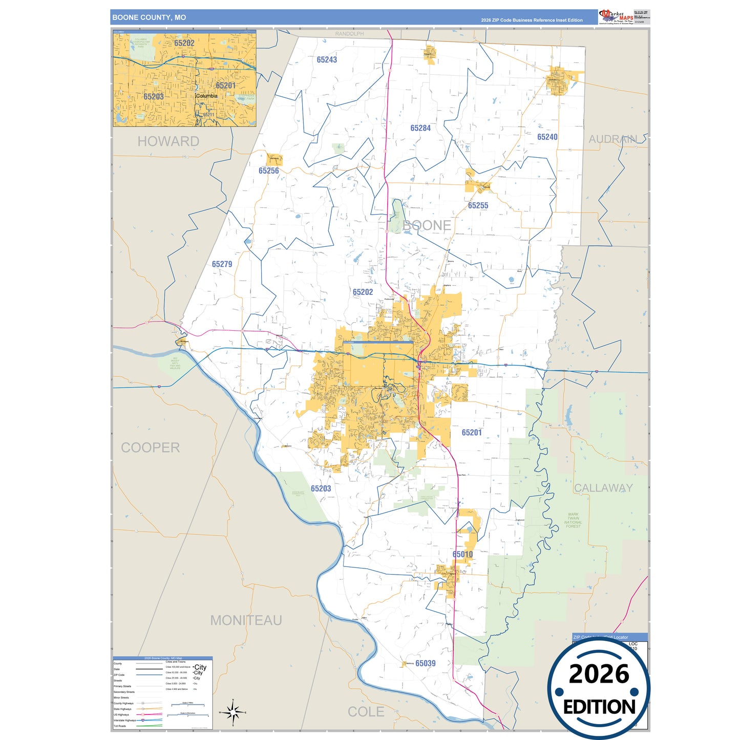
The Business Reference Style Boone County, MO is a detailed map that includes all towns, cities, major roadways, and highways. Available in multiple wall map sizes, perfect for home, school, office, or business display.
- Major streets, highways, and local roadways such as I-70, US-40, SR 22 and more.
- Ashland, Centralia, Columbia and other cities and towns.
- County boundaries and neighboring counties for reference.
- State parks such as Boone County Fairgrounds, Columbia Cosmopolitan Recreatn Park and Eagle Bluffs Conservation Area.
On this map:
Need help choosing the right map?
Call 1-888-434-6277