MarketMaps
Connecticut Business Reference
5 Digit ZIP Code Wall Map
2026 Edition
Product Description
Product Description
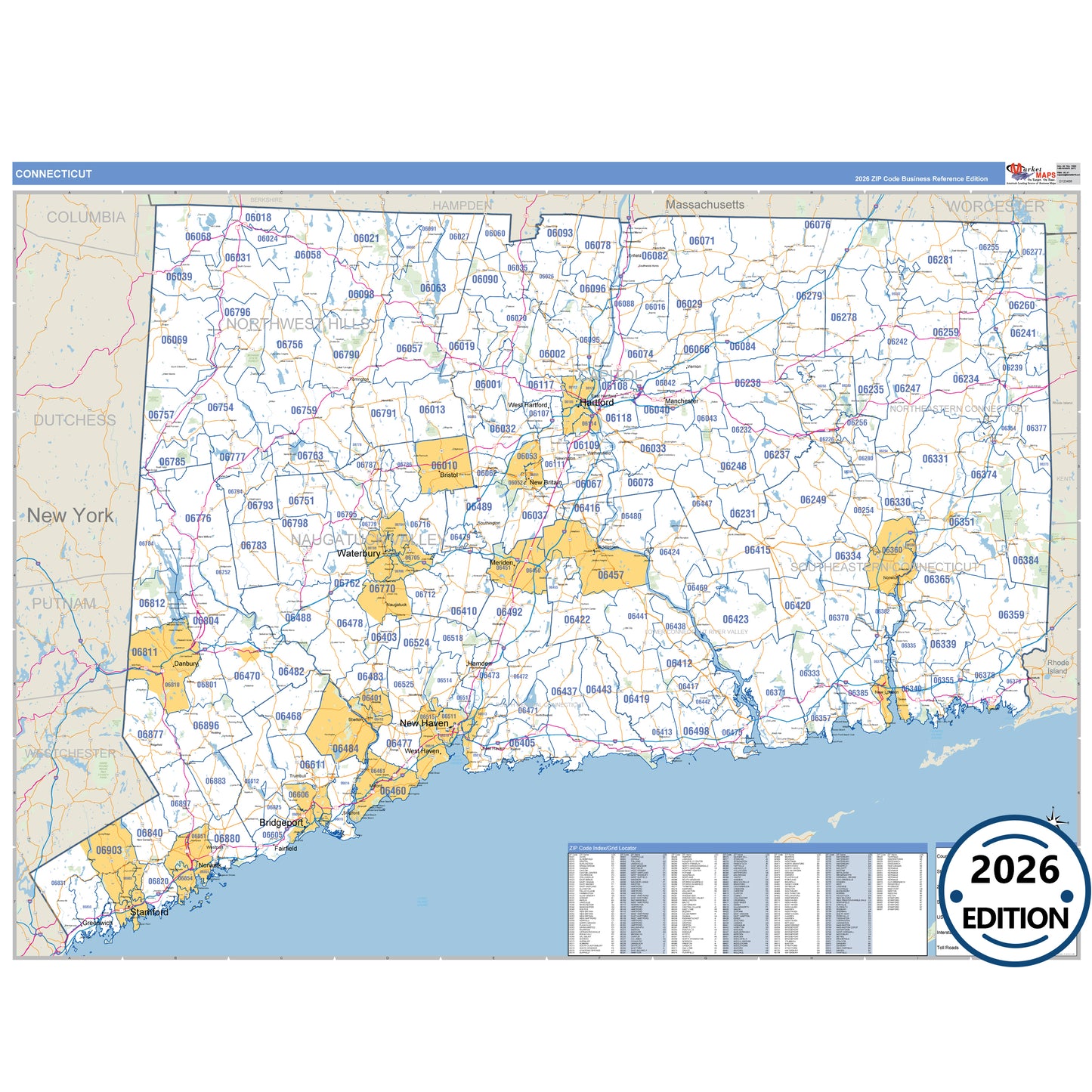
The Nutmeg State, Connecticut, in Business Reference Style is a detailed, professional wall map designed for presentations, office displays, and classroom use. Featuring traditional color schemes and clear map details, this Connecticut map showcases all major highways with precise highway markings and shaded populated areas for easy reference. Ideal for business planning, route mapping, and geographic visualization, the Business Reference Style Connecticut Map provides a clean, visually appealing layout that is perfect for offices, schools, and meeting rooms.
- Interstates, U.S., and State Highways: Includes I-84, I-91, I-95, US-1, US-1A, US-5 and more across Connecticut.
- Cities and Towns: Bridgeport, Bristol, Danbury, Hartford, New Britain, and surrounding towns.
- County Names and Boundaries: All 17 counties including Capitol County, Greater Bridgeport County, Lower Connecticut River Valley County, Naugatuck Valley County .
- Parks and Green Spaces: Macedonia Brook State Park, Mansfield Hollow State Park, Mohawk State Forest, Nehantic State Forest and more.
- Water Features: Bantam Lake, Barkhamsted Reservoir, Connecticut River, Farmington River
Key Features: