MarketMaps
Connecticut Red Line
5 Digit ZIP Code Wall Map
2026 Edition
Product Description
Product Description
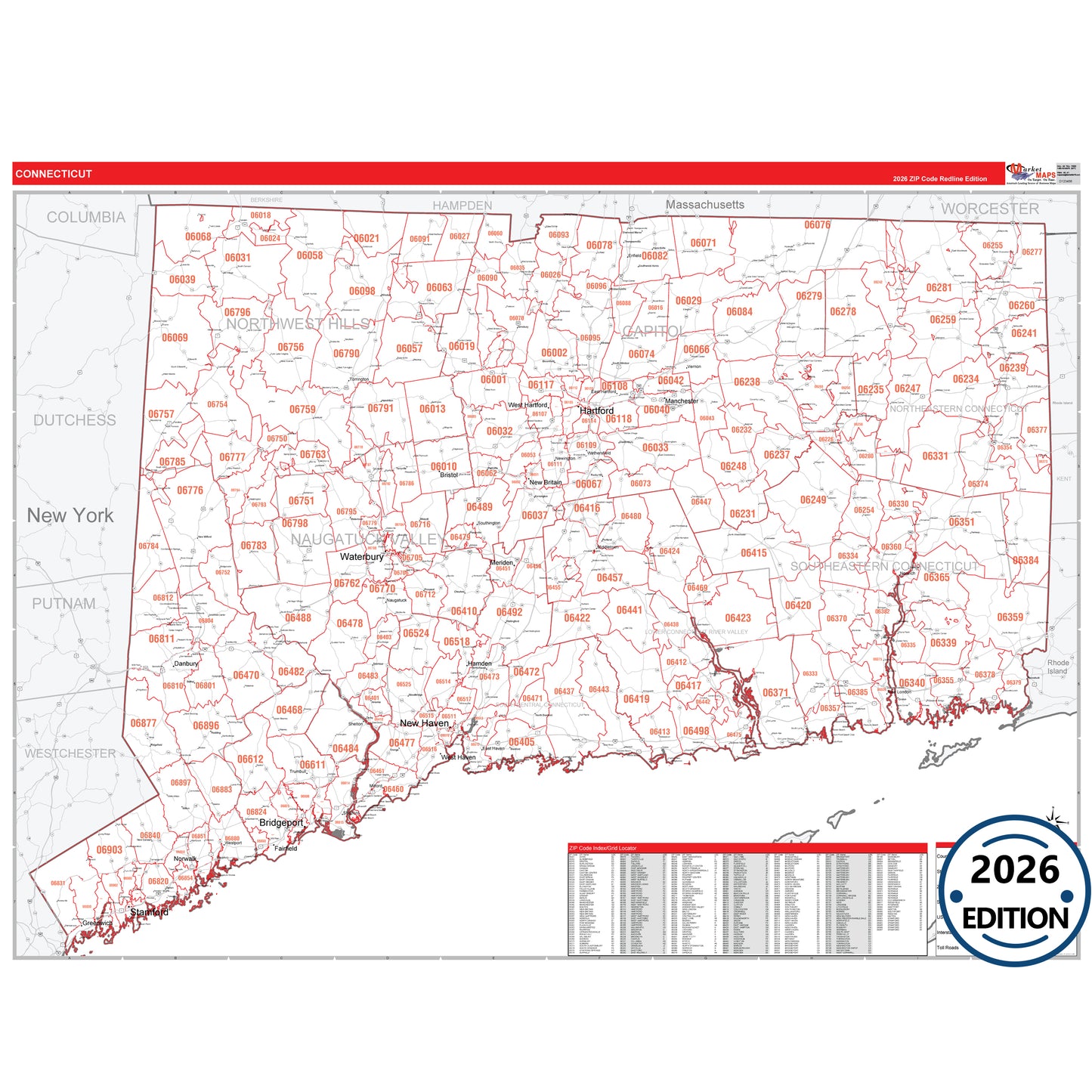
The Red Line Style Connecticut State Map provides a crisp, easy-to-read design with essential map details. Ideal for business planning, sales territory mapping, route tracking, and educational use, this Connecticut map clearly shows all major highways against a clean white background for maximum visibility. Its detailed highway network makes it perfect for marking locations, planning routes, and visualizing territories throughout Connecticut.
- Interstate, U.S., and State Highways: Key highways including I-84, I-91, US-1, US-1A, SR 2, SR 4 and others.
- Cities and Towns: Major cities like Bridgeport, Bristol, Danbury, Hartford, plus smaller towns across the state.
- County Names and Boundaries: All 17 Connecticut counties, including Capitol, Greater Bridgeport, Lower Connecticut River Valley, and others.
Map includes: