
1
/
of
1
MarketMAPS
Essex County, MA
Business Reference
5 Digit ZIP Code Wall Map
2026 Edition
Product Description
Product Description
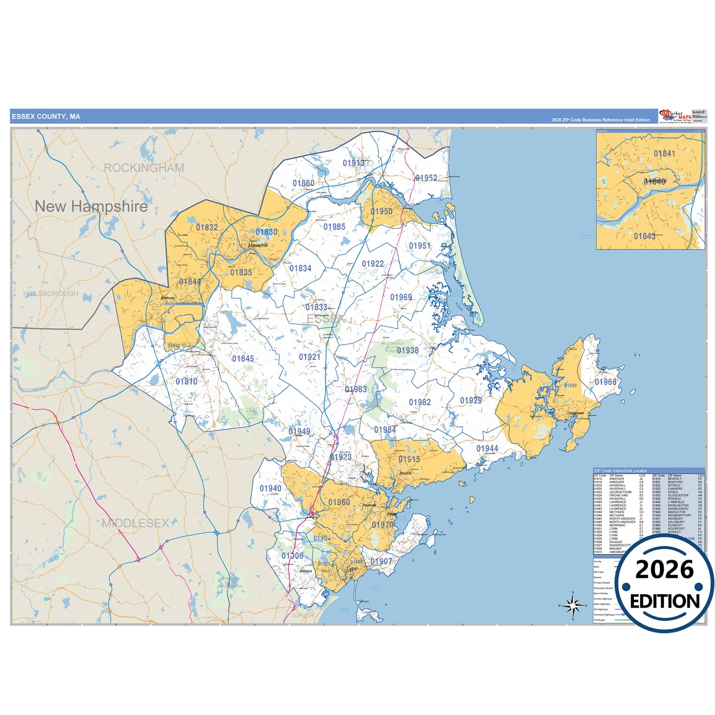
The Business Reference Style Essex County, MA is a detailed map that includes all towns, cities, major roadways, and highways. Available in multiple wall map sizes, perfect for home, school, office, or business display.
- Major streets, highways, and local roadways such as I-93, US-1, SR 1A and more.
- Beverly, Danvers, Gloucester and other cities and towns.
- County boundaries and neighboring counties for reference.
- State parks such as Bradley Palmer State Park, Breakheart Reservation and Georgetown Rowley State Forest.
On this map:
Need help choosing the right map?
Call 1-888-434-6277