MarketMAPS
Grand Forks County, ND
Red Line
5 Digit ZIP Code Wall Map
2026 Edition
Product Description
Product Description
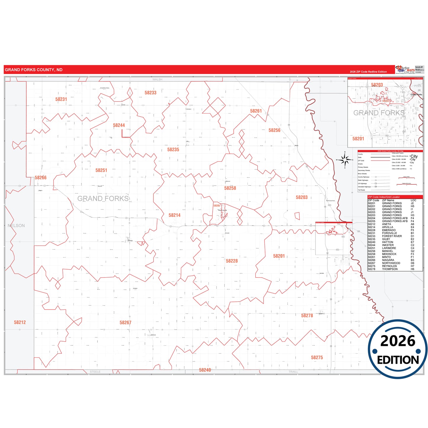
The RedLine Style map of Grand Forks County, ND shows ZIP code areas overlaid on a detailed road network of Grand Forks County, North Dakota. Ideal for drawing locations, territories, and other applications. Base map features include all major streets and highways labeled, cities and towns, county and state boundaries, neighborhood names, railroads, and a clean white background suitable for marking and planning.
- Major Roads such as I-29, US-2, US-81, SR 15, SR 18 and more.
- Cities and towns including Emerado, Gilby, Grand Forks.
- 5 Digit ZIP Codes with grid locator.
Key Features on the Grand Forks County RedLine map: