
1
/
of
1
MarketMAPS
Greene County, IL
Business Reference
5 Digit ZIP Code Wall Map
2026 Edition
Product Description
Product Description
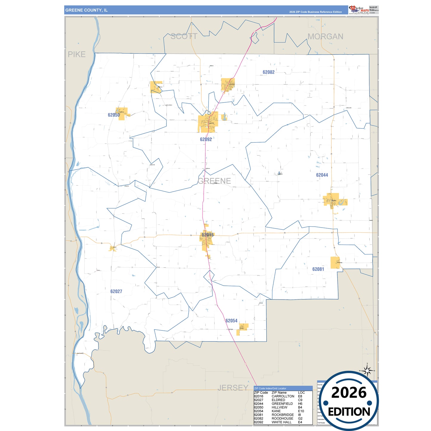
The Business Reference Style Greene County, IL is a detailed map that includes all towns, cities, major roadways, and highways. Available in multiple wall map sizes, perfect for home, school, office, or business display.
- Major streets, highways, and local roadways such as US-67, SR 16 and more.
- Athensville, Carrollton, Clark and other cities and towns.
- County boundaries and neighboring counties for reference.
- State parks such as American Legion Park, Conrad Park and Fry Park.
On this map:
Need help choosing the right map?
Call 1-888-434-6277