
1
/
of
1
MarketMAPS
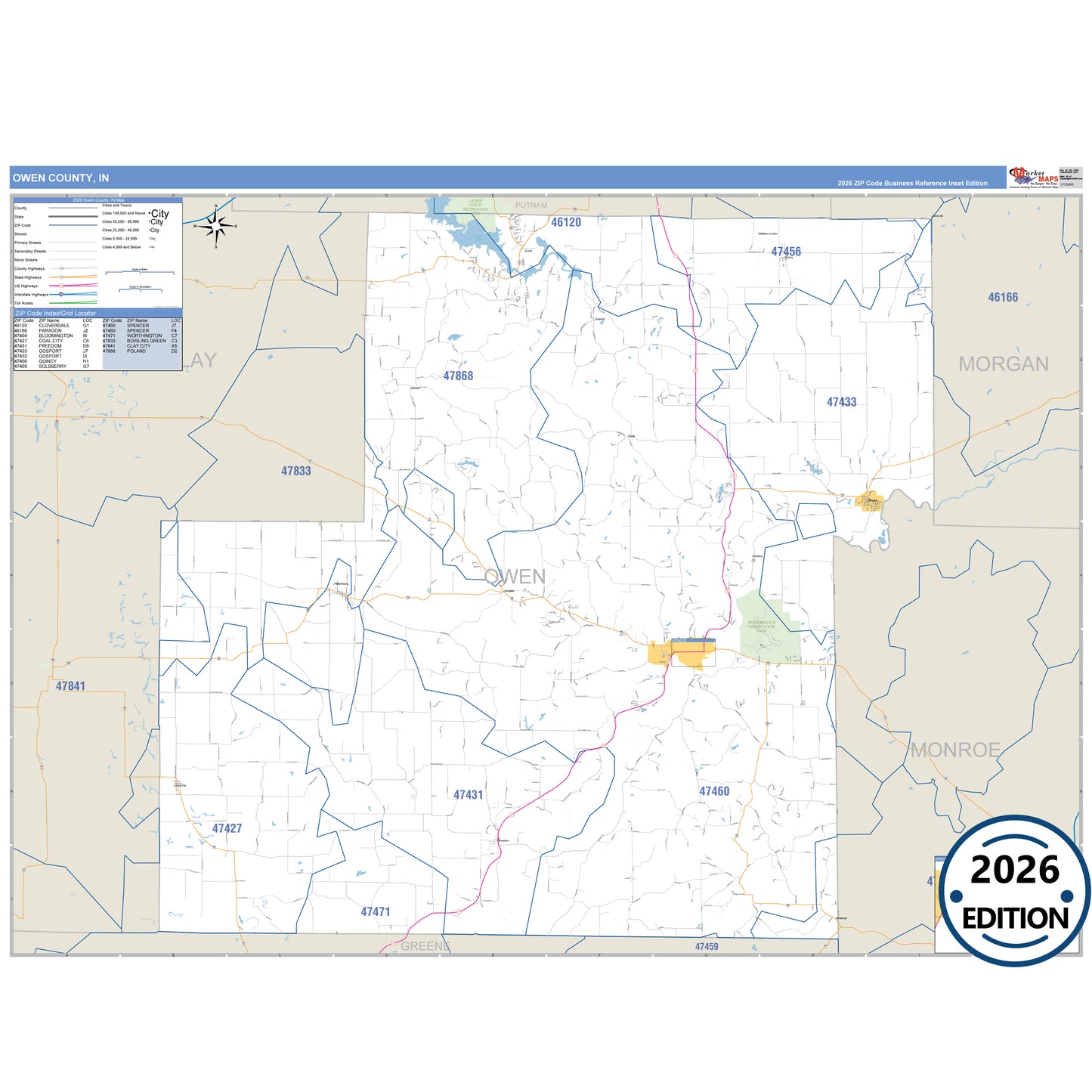
Owen County, IN
Business Reference
5 Digit ZIP Code Wall Map
2026 Edition
Product Description
Product Description
The Business Reference Style Owen County, IN is a detailed map that includes all towns, cities, major roadways, and highways. Available in multiple wall map sizes, perfect for home, school, office, or business display.
- Major streets, highways, and local roadways such as US-231, SR 42 and more.
- Cataract, Coal City, Cunot and other cities and towns.
- County boundaries and neighboring counties for reference.
- State parks such as Lieber State Recreation Area and Mccormick's Creek State Park.
On this map:
Need help choosing the right map?
Call 1-888-434-6277