
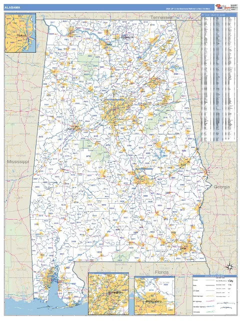
Alabama State ZIP Code Wall Map
$125 - $995
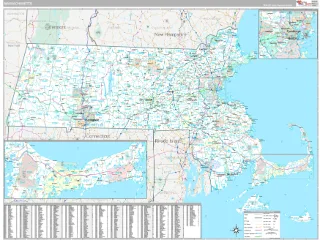
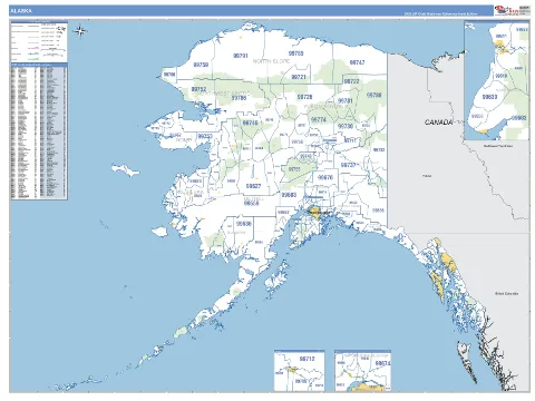
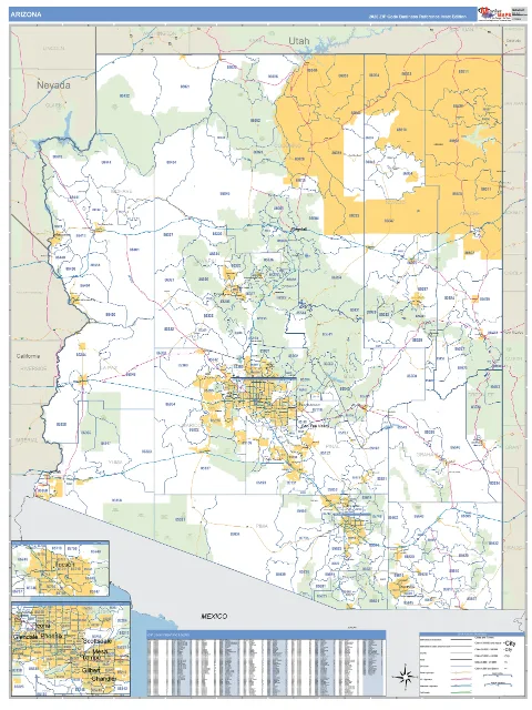
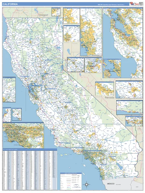
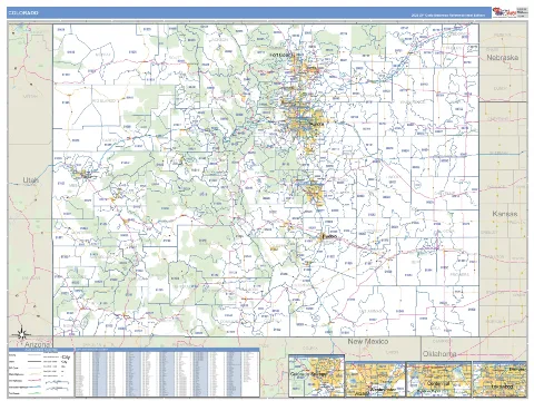
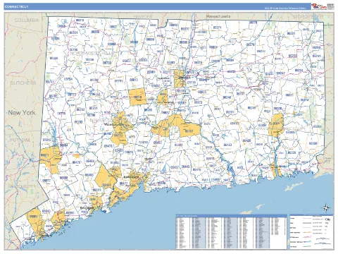
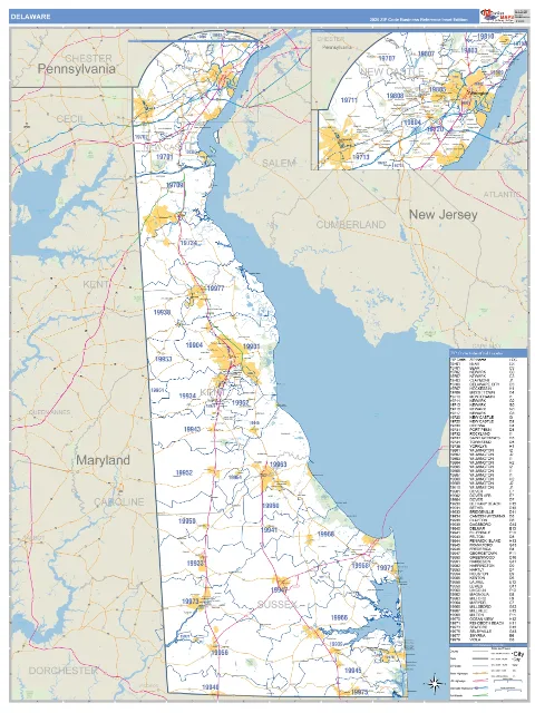
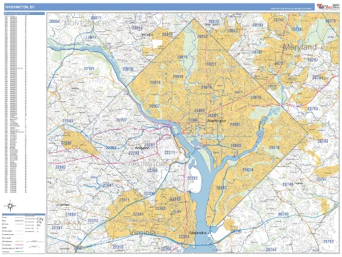
Shop detailed State ZIP Code Wall Maps for all 50 states with county lines, highways, cities, roads, parks, rivers, and other geographic features. Choose from a wide selection of styles, finishes, and sizes for business, planning, sales, and reference.
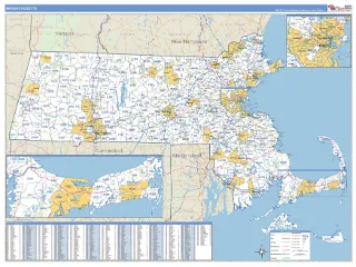 Top Pick
Business Reference
A professional, standard map that keeps your locations, territories and data easy to read.
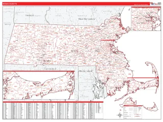
RedLine
Bright red ZIP Code labels and boundaries on a clean white background.
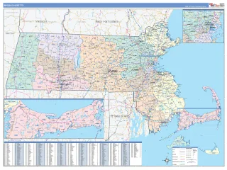
ColorCast
Each ZIP Code shaded its own color, for territory design and delivery planning.
Classic
Abundant reference detail and points of interest, for decoration and market analysis.
$125 - $995
$125 - $995
$125 - $995

$125 - $995
$125 - $995
$125 - $995
$125 - $995
$125 - $995
$125 - $995
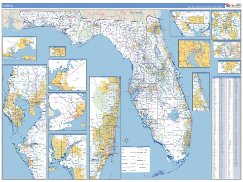
$125 - $995
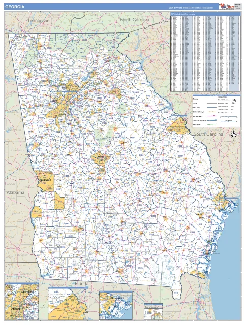
$125 - $995
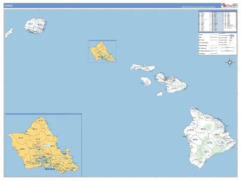
$125 - $995
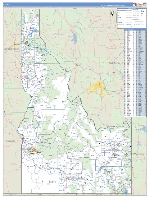
$125 - $995
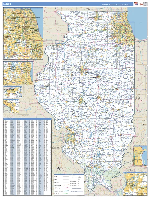
$125 - $995
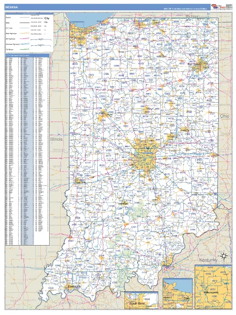
$125 - $995
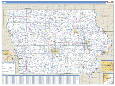
$125 - $995
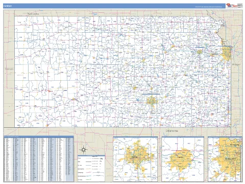
$125 - $995
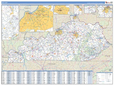
$125 - $995
No states match your search. Clear search
ZIPCodeMAPS State Maps display detailed geographic information including county boundaries, major cities and towns, highways, interstates, lakes, rivers, parks, airports, and other key landmarks. Many maps also include ZIP Codes, congressional districts, and additional business-focused data layers, making them ideal for sales planning, territory management, logistics, and operations.
State Wall Maps are commonly used by businesses, government agencies, schools, healthcare organizations, utilities, and real estate professionals to visualize territories, plan routes, analyze markets, and communicate geographic information. Large-format maps provide an easy-to-read reference that's always visible in an office, conference room, or operations center.
ZIPCodeMAPS State Maps are available in multiple finishes to fit different environments. Choose from paper, laminated, mounted, framed, spring roller, magnetic, or other display options depending on how you plan to use your map. Laminated maps can be written on with dry-erase markers for temporary planning and presentations.
Yes! We have thousands of options to custom design a State Map exactly the way you want it. Contact us and speak with a Map Specialist. They will make sure you get the map tailored to your needs. You can add company branding, sales territories, office locations, customer data, service areas, color-coded regions, or other geographic information to create a map tailored to your organization. Custom State Maps are ideal for planning, reporting, and presentations.
ZIPCodeMAPS maps are offered from 2x3 feet to 9x12 feet and larger. Map Murals cover an entire wall. Larger Wall Maps make it easier to view counties, highways, and city names from across a room, while smaller sizes are perfect for individual offices.
Yes. All standard ZIPCodeMAPS State Maps clearly display county boundaries along with county names, major cities, highways, and other important geographic features. County-level detail makes these maps especially useful for territory planning, market analysis, route optimization, and regional sales management.
Yes. Laminated state maps provide a durable, protective finish and can be used with dry-erase markers to temporarily mark territories, routes, customer locations, or project areas. This makes them a popular choice for businesses that frequently update planning information.
ZIPCodeMAPS combines high-quality cartography with extensive customization options designed specifically for business users. Whether you're managing sales territories, planning service routes, tracking customers, or presenting geographic data, our State Wall Maps offer detailed information, multiple finishing options, and the ability to create a map that fits your organization's exact needs.